
Geologic Features That Underpin California’s Terroir
Tectonic Activity (San Andreas Fault):
The ongoing movement between the Pacific and North American plates creates the mountainous topography and fractured, complex bedrock necessary for high-quality viticulture.
Volcanic Activity
Many regions, particularly in Napa Valley (e.g., Coombsville), feature volcanic soil (ash, tuff, obsidian) which is low in nutrients, forcing vines to struggle and producing smaller, more concentrated berries.
Marine Sedimentation
Ancient sea-beds that were lifted over millions of years contribute calcareous soils (limestone and shale), which are vital in regions like the Central Coast and Sta. Rita Hills for producing high-acid, structured wines.
Regional Examples
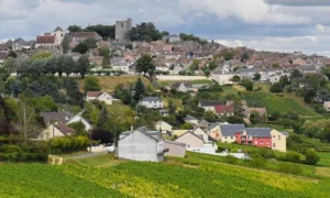
Napa Valley
Known for its “volcanic mosaic,” featuring varied soils from ancient eruptions on hillsides and rich, alluvial sediments on the valley floor.
Sonoma County/Russian River
Influenced by intense cooling from marine fog, combined with rocky and sandy soils that contribute to balanced, slower ripening.
Paso Robles
Located on the Central Coast, this area is characterized by its dramatic shifts in soil, including significant limestone deposits and a wide range of marine sediments, driving diversity in grape varieties.
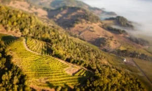
Impact of Topography on Climate
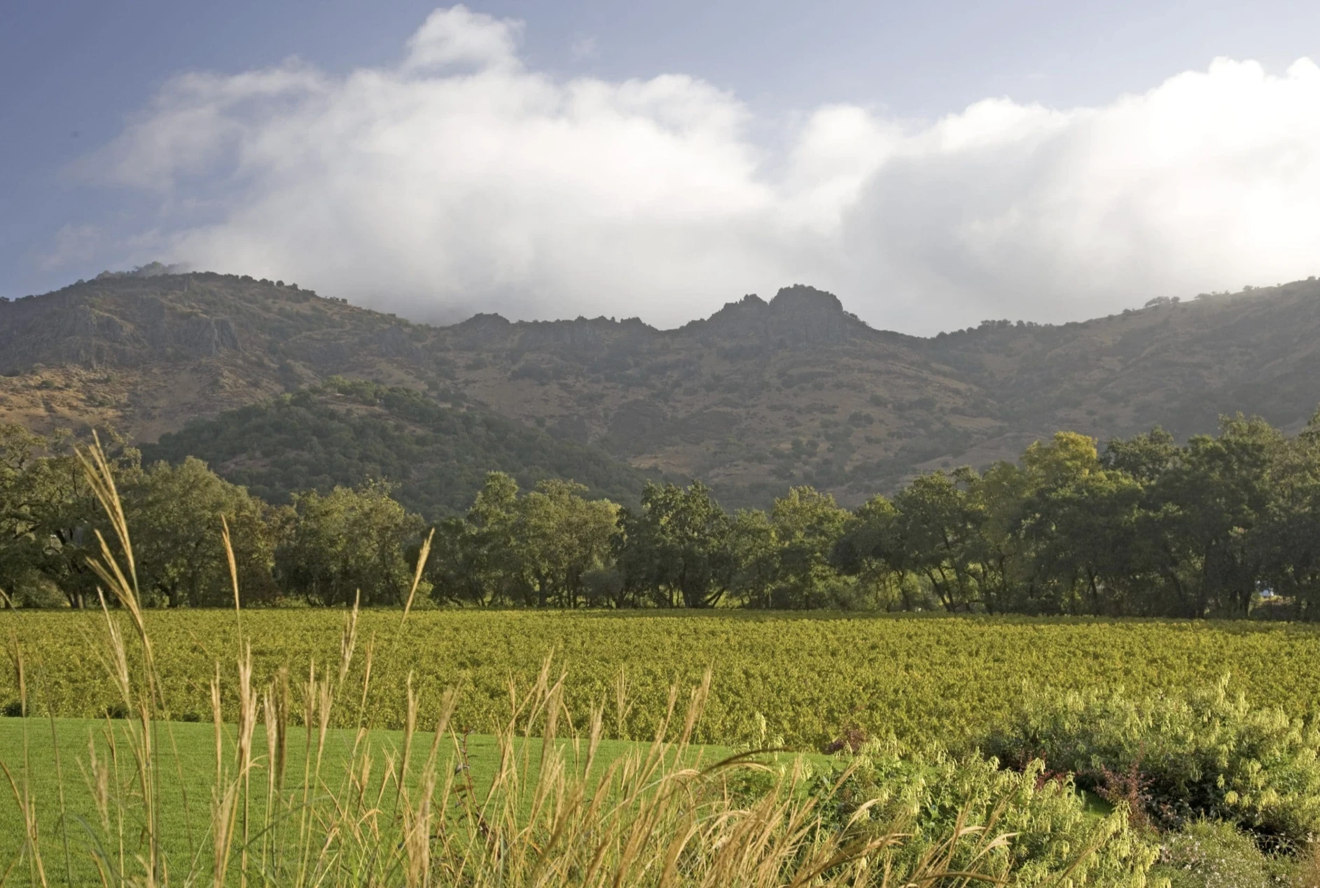
Coastal Mountains
These act as barriers, creating, trapping, or excluding cool marine air and fog. This variation allows for a diverse range of climate zones, from cool-climate Pinot Noir regions to hot-climate Cabernet Sauvignon areas.
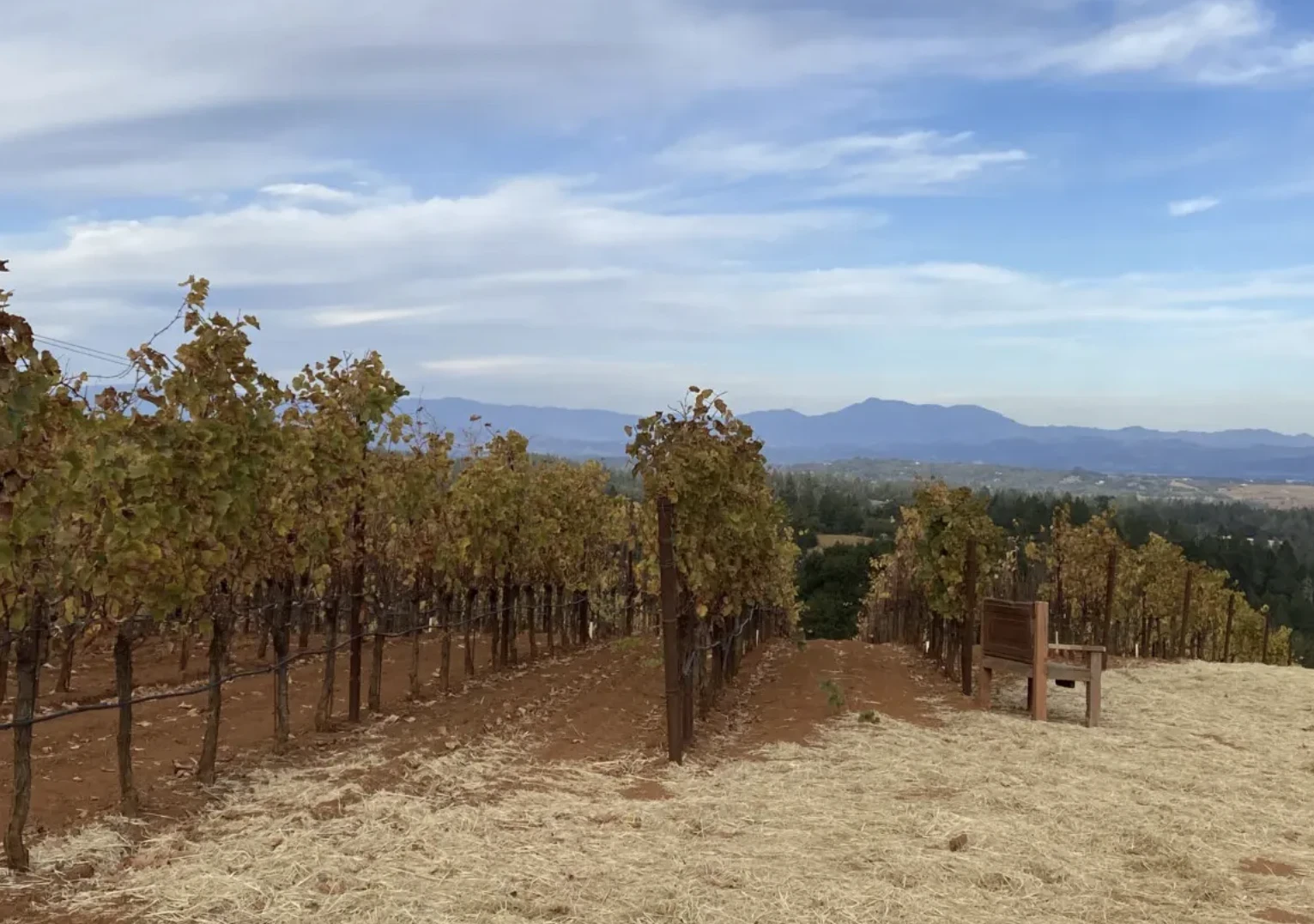
Elevated Vineyards
Vineyards located at higher altitudes often have different, often shallower, soils and experience cooler temperatures, which adds to the structural complexity of the wine.
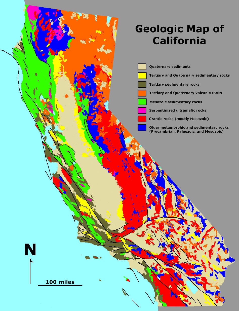
Key Geological Features and Regions
San Andreas Fault
A major transform boundary separating the Pacific and North American plates, responsible for high seismic activity and shifting geological features.
Sierra Nevada
A massive, tilted fault block mountain range, forming the core of an ancient volcanic arc.
Central Valley (Great Valley)
A large, sediment-filled trough that was formerly a marine basin, acting as a forearc basin for over 150 million years.
Coast Ranges
A series of mountains formed by accretion, where materials were scraped off the subducting plate.
Transverse Ranges
An east-west trending range (including the San Gabriel Mountains) caused by a bend in the San Andreas fault, rising at a very rapid pace.
Basin and Range
A region of extensional tectonics in the east, characterized by stretched crust, sunken basins (like Death Valley), and steep mountain ranges.
Cascade Range & Modoc Plateau
Active volcanic regions in northern California.
Geological History and Processes
Subduction & Accretion
For ~200 million years, a subduction zone existed along the coast, resulting in the accretion of oceanic material (including ophiolites) and the creation of the Franciscan complex.
Oldest Rocks
The oldest rocks in California are about 1.7 billion years old, located in the Death Valley region and San Gabriel Mountains.
Sedimentation
The Central Valley has accumulated over 38,000 feet of sediment.
Volcanism
The Sutter Buttes in the Sacramento Valley are remnants of a Pliocene volcano.
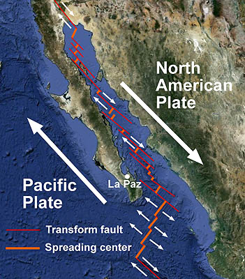 Just south of the Gulf of California, the East Pacific Rise breaks into a series of small spreading centers and transform faults. This illustration shows the approximate locations of some of these features. Arrows show the relative motions of the crust at a few spreading centers and transform faults (other locations are similar). (Base map from Google Earth. Tectonic features adapted from Alvarez et al., Bathymetry and active geological structures in the Upper Gulf of California, Bol. Soc. Geol. Mex v.61 n.1, 2009)
History
 The oldest rocks in California date back 1.8 billion years to the Proterozoic and are found in the San Gabriel Mountains, San Bernardino Mountains, and Mojave Desert. The rocks of eastern California formed a shallow continental shelf, with massive deposition of limestone during the Paleozoic, and sediments from this time are common in the Sierra Nevada, Klamath Mountains and eastern Transverse Range.
Active subduction began in the Triassic during the Mesozoic, producing large granite intrusions and the beginning of the Nevadan Orogeny as well as more dryland conditions and the retreat of the ocean to the west. Throughout the Jurassic the Nevadan Orogeny accelerated with large-scale granitic intrusions and erosion into deep marine basins. These basins steadily filled with sediment, with one famous example preserved as the Great Valley beds in the Coast Ranges. Simultaneously island arcs and small sections of continental crust rafted onto the edge of North America, building out the continent.[1]
During the Cenozoic, the volcanic and deep water sedimentary Franciscan rocks were accreted to the edge of California and vast areas of marine sedimentary rocks deposited in the Central Valley and what would become the Transverse and Coast Ranges. Examples of filled basins included the Los Angeles Basin, the Eel River Basin around Eureka or the 50,000 feet (15,000 m) thick sedimentary sequences of the Ventura Basin. The San Andreas Fault became perhaps most active after the Miocene, potentially resulting in up to 350 miles (560 km) of offset in some locations.
The geology of California is highly complex, with numerous mountain ranges, substantial faulting and tectonic activity, rich natural resources and a history of both ancient and comparatively recent intense geological activity. The area formed as a series of small island arcs, deep-ocean sediments and mafic oceanic crust accreted to the western edge of North America, producing a series of deep basins and high mountain ranges.
One of the most important events was the advent of the San Andreas Fault around 29 million years ago in the Oligocene, when the region subducted a spreading center in the East Pacific Rise. This produced major crustal stretching, volcanism and displacement of up to 125 miles (201 km).
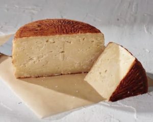
Roth Gran Queso
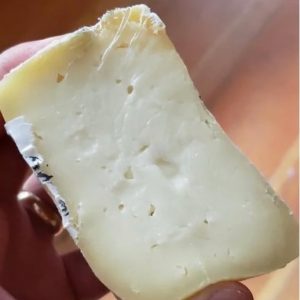
Zimbro Raw Sheeps Milk Cheese

Harbison From Jasper Hill
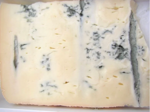
Gorgonzola
Food Pairings
Pork Roast wioth Prunes and Garlic
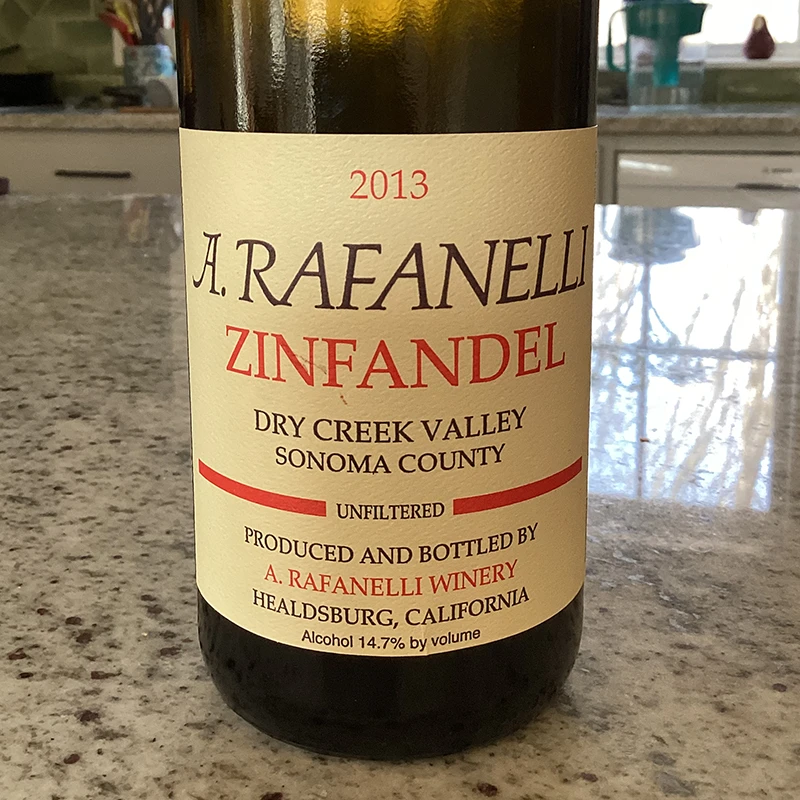
(to pair withRafinelli Zinfandel)
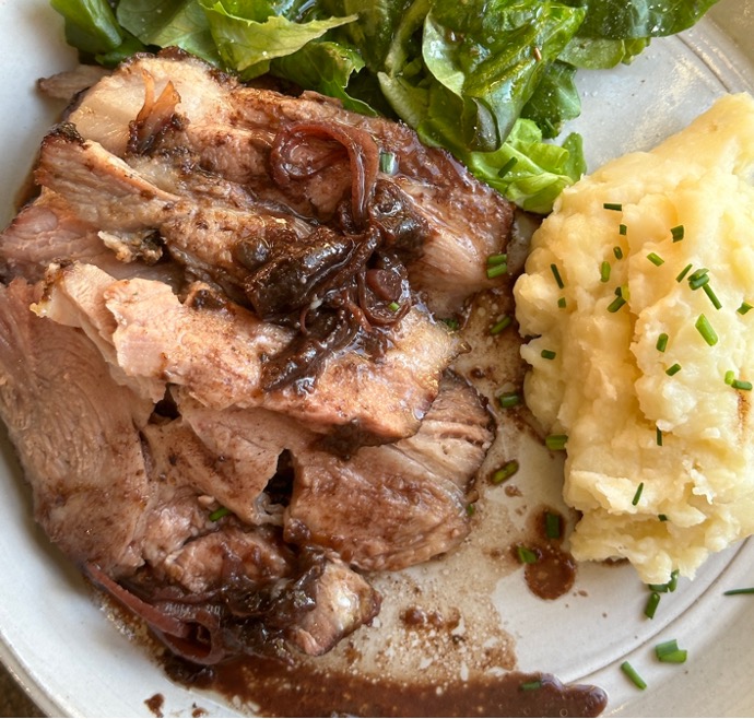
Combine garlic, parsley, sage, salt, allspice, pepper, cinnamon, nutmeg, coriander, and ½ cup of dried prunes in food processor and pulse to make a sticky paste.
Make crosshatch cuts into the fat cap of the pork roast, about 1.5 – 2 inches deep, and 2 inches apart, and press the paste into the cuts. Any extra spice can be spread on the sides.
Place another 6-8 dried prunes inside the folds on the sides of the roast.
Loosely cover with foil and place in the oven and cook for 1 hour.
While the pork is cooking, roughly chop the another ½ cup of prunes.
After the pork has been in the oven for 1 hour, remove from the oven and add 2 cups red wine, the prunes, minced shallots, and a bit of balsamic vinegar to the pan, stirring to combine and to deglaze the pan.
Return to the oven, uncovered, and continue cooking about 40 minutes. Remove the pork from the oven and check the internal temperature, you want it to be 145F as it will continue to cook while it rests.
Serve with fresh parley and orange slices to garnish.